MAPPING


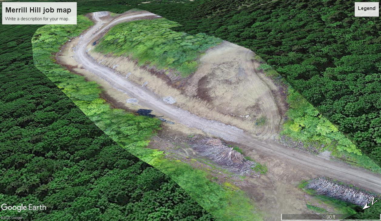
With photogrammetry, the science of measurements using photographs, we are able to produce a point cloud consisting of hundreds of aerial photographs, 'stitching' them together digitally using specialized software. The result is a larger, accurate, 2D composite map which can be used for construction volumetric measurements, job site layout, distances and terrain profiles.
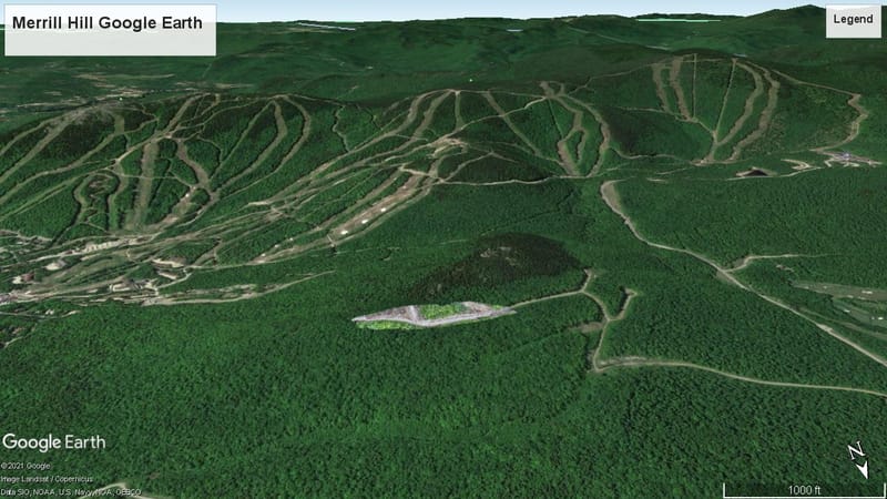
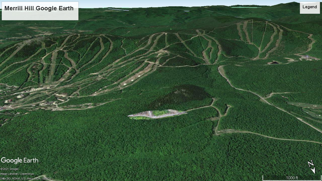
A project imported into Google Earth. This is an example of 163 photographs 'stitched' together to create a 2D map that can be used to take measurements, determine volumetric quantities for cut/fill areas and alter design flaws or reveal construction errors to circumvent costly and time consuming mistakes.